
You arrive at the gate before sunrise, the air at 2,200 metres so cold you can see your breath. A herd of sambar deer drifts across the road in front of the car. Two hours later you’re standing on the lip of a cliff that drops straight down for 870 metres, and the cloud beneath your feet is parting like a curtain.
The Story
Horton Plains National Park sits at about 2,100–2,300 metres on the central highlands — the highest plateau in Sri Lanka, a montane savannah ringed by cloud forest. It’s the source of three of the island’s major rivers (the Mahaweli, the Kelani, and the Walawe), a UNESCO World Heritage Site under the Central Highlands listing, and one of the few places in Sri Lanka where temperatures regularly drop near freezing. The plains were named for Sir Robert Horton, a 19th-century British colonial governor; the local Sinhala name, Maha Eliya, simply means Great Plain.
The park’s headline draw is the World’s End viewpoint — a sheer cliff at the southern edge of the plateau, dropping vertically about 870 metres into the lowlands. The view, on a clear morning, is one of the most extraordinary in Sri Lanka: pale-blue mountain ridges receding south, the coastal plain visible on the very clearest days, and a long sea of cloud that often hides the lowlands until the rising sun burns it off. The standard hike is a 9-kilometre triangular circuit that takes in World’s End, the smaller cliff at Mini World’s End, and Bakers Falls — a 20-metre cascade through cloud-forest moss.
The park is one of the best places in Sri Lanka to see montane wildlife: sambar deer, the endemic purple-faced langur, the rare Sri Lankan leopard (sightings are exceptional but possible), and a long list of montane birds including the endemic Sri Lankan bush warbler. Plastic is banned at the entrance gate; bring a reusable bottle.
Cloud is the enemy. By 9am the visibility from World’s End often drops to nothing. The early start is non-negotiable.
What You'll Experience
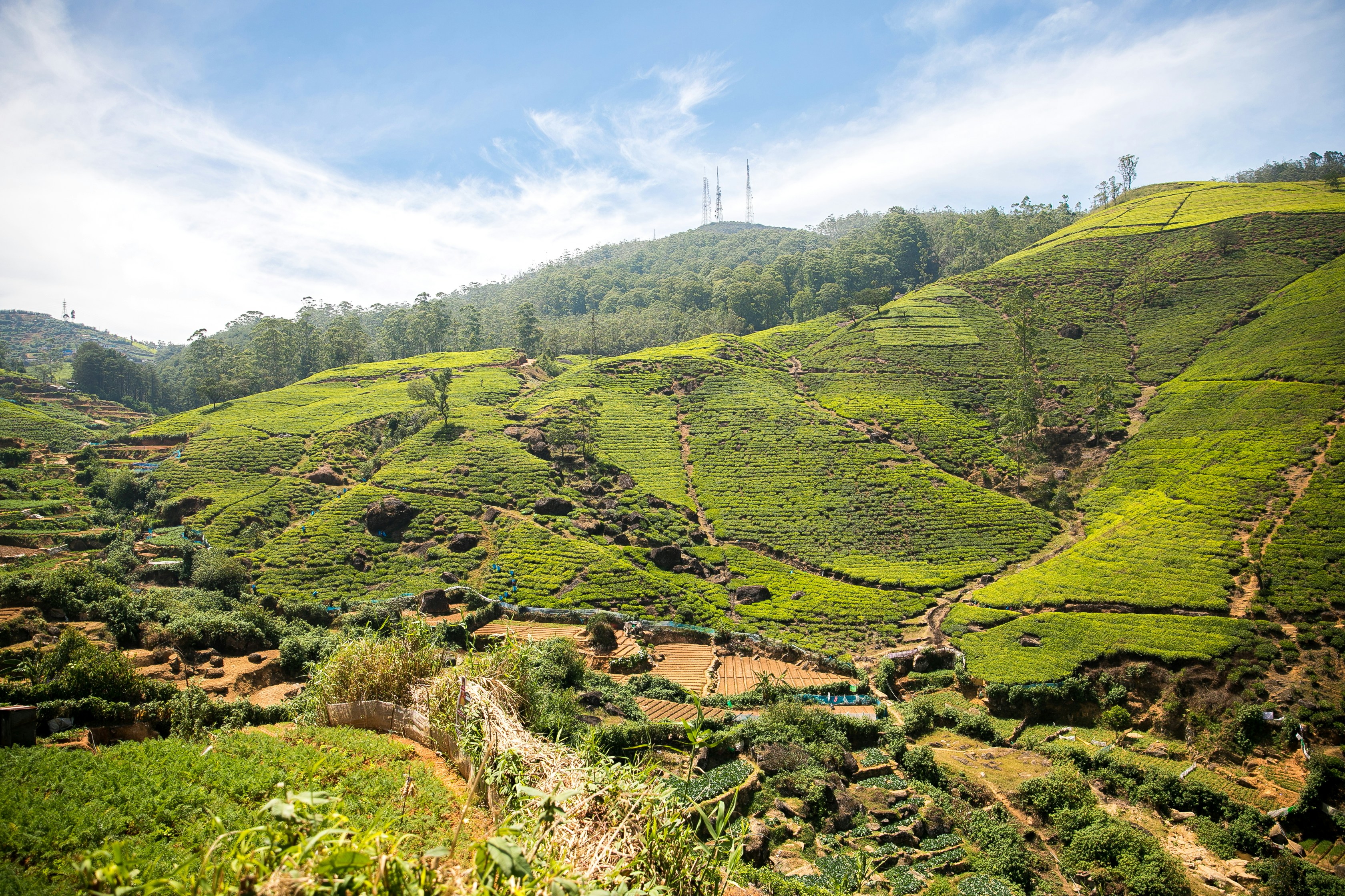
Pickup from your Nuwara Eliya hotel at 4:30am. The drive to the park entrance takes about 90 minutes through a landscape that grows steadily wilder — tea estates giving way to potato fields, then to open grassland and stunted cloud-forest. At the gate, the park staff check bags for plastic and brief you on the trail. The temperature is often 5–8°C; you’ll be glad of every layer.
Start the loop anti-clockwise — most travellers do — to reach World’s End first, before the cloud rolls in. The first hour is across open grassland: the so-called patana of the high plains, with frost-resistant grass underfoot and a wide view of the surrounding peaks. Sambar deer are common, often within ten metres of the path; they’re unbothered by walkers.
World’s End comes suddenly. The path runs along level ground until the world drops away. There’s a low rock ledge, no railing. Step carefully. On a clear morning the cliff falls vertically into a lowland landscape that looks impossibly far below; on a cloudy morning, the view is white wall, then a sudden parting where the sun catches the lowland and the depth becomes apparent. The image in our caption the high plateau view is exactly this.
Continue to Mini World’s End — a smaller cliff with a slightly different angle — and then loop back through the cloud-forest section toward Bakers Falls. The forest is wet, mossy, and dramatically different from anywhere else in Sri Lanka: rhododendrons, tree ferns, and the strange dwarf cloud-forest oaks. Bakers Falls itself is a 20-metre cascade in a small moss-walled gorge. Photograph quickly; the path is slippery. The full circuit takes 3–4 unhurried hours; you’ll be back at your hotel for an early lunch.
Practical Details
- Location: About 32 km south of Nuwara Eliya, Central Province
- Getting There: About 90 minutes by car from central Nuwara Eliya. A private driver is by far the easiest option — public transport doesn’t reach the gate.
- Best Time to Visit: January to March is driest. Arrive at the gate at 6:30–7am to walk before the cloud closes in.
- Entry: Park fee around USD 25–30 per person (verify current rates). Includes entry to World’s End, Bakers Falls and the cloud-forest loop.
- What to Bring: Warm layers (5–10°C at the gate), windproof, hat, sturdy walking shoes, reusable water bottle (no plastic allowed), snacks, sunscreen, and a small first-aid kit.
Pair It With
- Pedro Tea Estate — Visit on the way back to Nuwara Eliya — a hot cup of tea at the factory after a cold morning hike.
- Gregory Lake — An afternoon walk around the lake to wind down after the hike.
- Ella Rock — On a longer hill-country itinerary, Horton Plains and Ella Rock pair as the high and low ends of the same plateau system.
Why It Belongs on Your Sri Lanka Journey
Horton Plains is the rare hike in Sri Lanka where altitude, cold, and a real sense of wilderness all come together. It rewards the early start; it punishes anyone who tries to do it after 9am. We arrange the pickup, the breakfast box, and the careful drive up; you supply the layers and the patience for the cloud. Build it into a hill-country itinerary with two nights in Nuwara Eliya and a morning train down to Ella afterwards, and you’ll have walked the highest plateau, ridden the most photographed train, and seen the country at three altitudes in three days.
Plan your visit to Horton Plains National Park with DBRO
We design slow, considered Sri Lanka itineraries from our base on the island, with a particular ear for travellers from the Netherlands and Belgium. If Horton Plains National Park is on your shortlist, we’ll fit it into a route that lets it breathe.
Useful next reads:

